Description
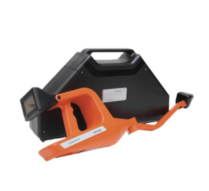
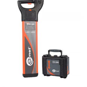
The LOCATOR SET 10 UL is used for locating and tracing cable lines with a distinct focus on power cables. It works based on audio-frequency technology. A broad range of available transmitter frequencies allows to adapt to various locating objects and situations. The standard test connection is direct (galvanic) coupling. As an alternative, the transmitter provides a device integrated inductive antenna or optional inductive connection clamps.
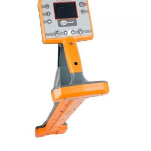
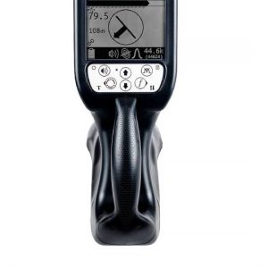
The receiver UL, conveniently stored in the transmitter case, represents one of the most ergonomic offerings available. A clear display with compass style presentations helps to orientate and understand the precise location of the surveyed object. Other well known tracing technologies such as minimum and maximum method are also included.
SPECIFICATIONS
Transmitter UL
- Output power 0 to 10W
- Output frequencies 512Hz to 200kHz
- Test connection direct; inductive; clamps (opt.)
- Power supply 230V/50Hz; battery
- IP Rating
- IP54
- Dimensions / weight 610 x 115 x 318mm / 4,8kg
- Receiver UL
- Sensor
- Multi-directional antennas
- Active frequency range
- 512Hz to 200kHz
- Passive frequency range
- Power; CPT; CATV
- Depth measurement
- Vertical Mapping
- external GNSS Logger (opt.)
- Weight / IP rating 2kg / IP54
APPLICATIONS & FEATURES of Locator SET 10 UL
- Locating and precise tracing of various underground cable lines with specific transmitter frequencies (active mode)
- Scanning an area for location of energised underground power lines in passive mode.
- Rough GIS mapping of lines with external GNSS logger
Featuring receiver with compass style presentation for improved orientation;
Receiver with automatic frequency adjustment (pairing);
Automatic and permanent depth indication;
Single button control for operation with gloves;
Transmitter dual signal output option for simultaneous tracing of two lines with different frequencies.
Brochure

